Aloft, Dorrance and Clifford to City Hall, Dorrance and Washington
Yes
Someone arriving in the city: yes. Someone who lives here: yes.
Straight line 0.32 mi (1,716 ft). On the street: 0.34 mi (1,772 ft), the shortest walking route on OpenStreetMap. Called 2026-09-04.
Sightline from the origin
Not yet recorded.
To record it: stand at the origin, face the route, and note whether the destination is in view, the grade, whether a highway or rail line is in the frame, the distance to the first thing worth walking toward, and take one eye-level photo with the same framing every time.
Street View from the origin
Imagery © Google Street View, captured Jun 2025. Shown for orientation only; not a ledger observation.
Photos
Notes
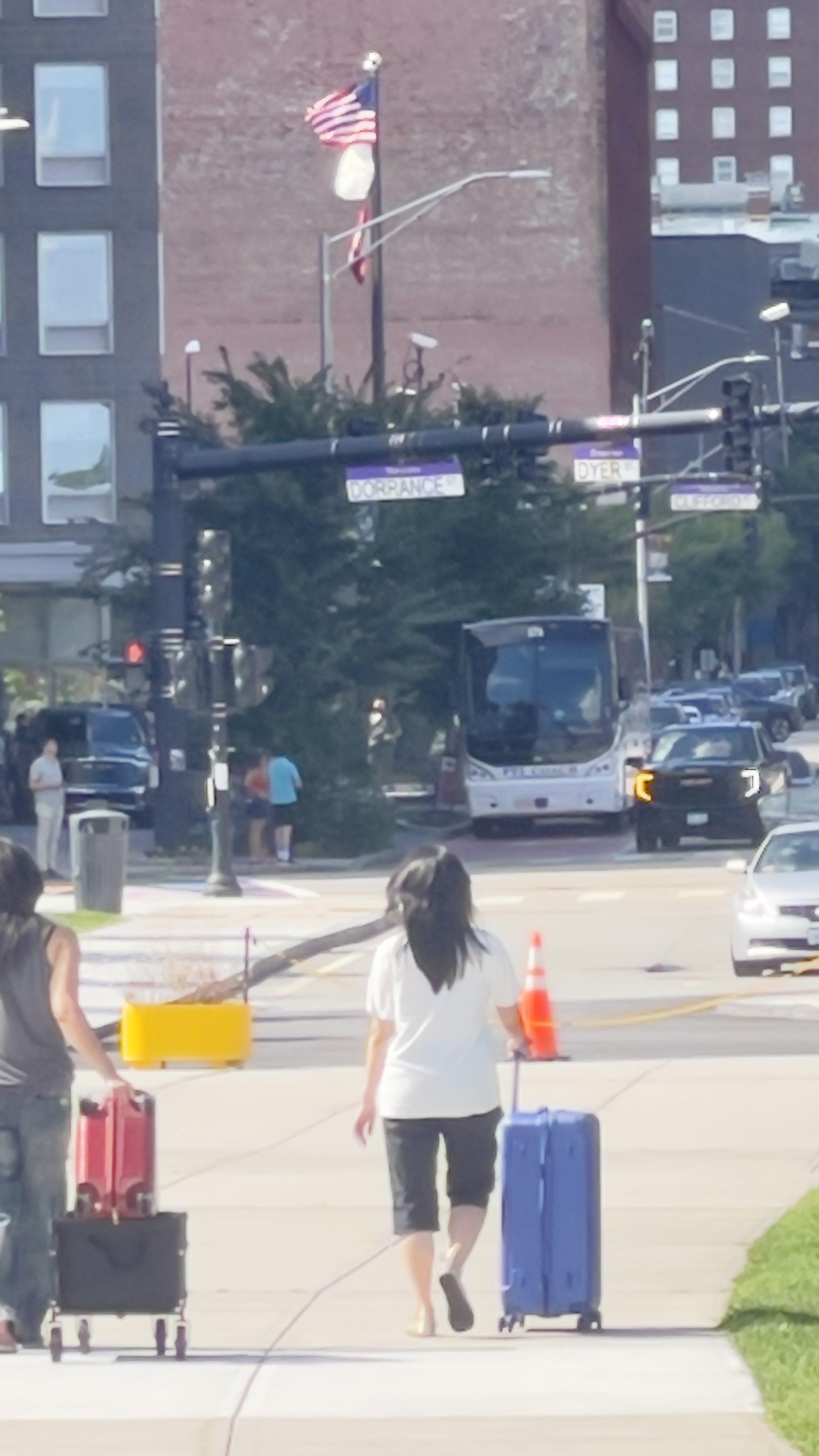
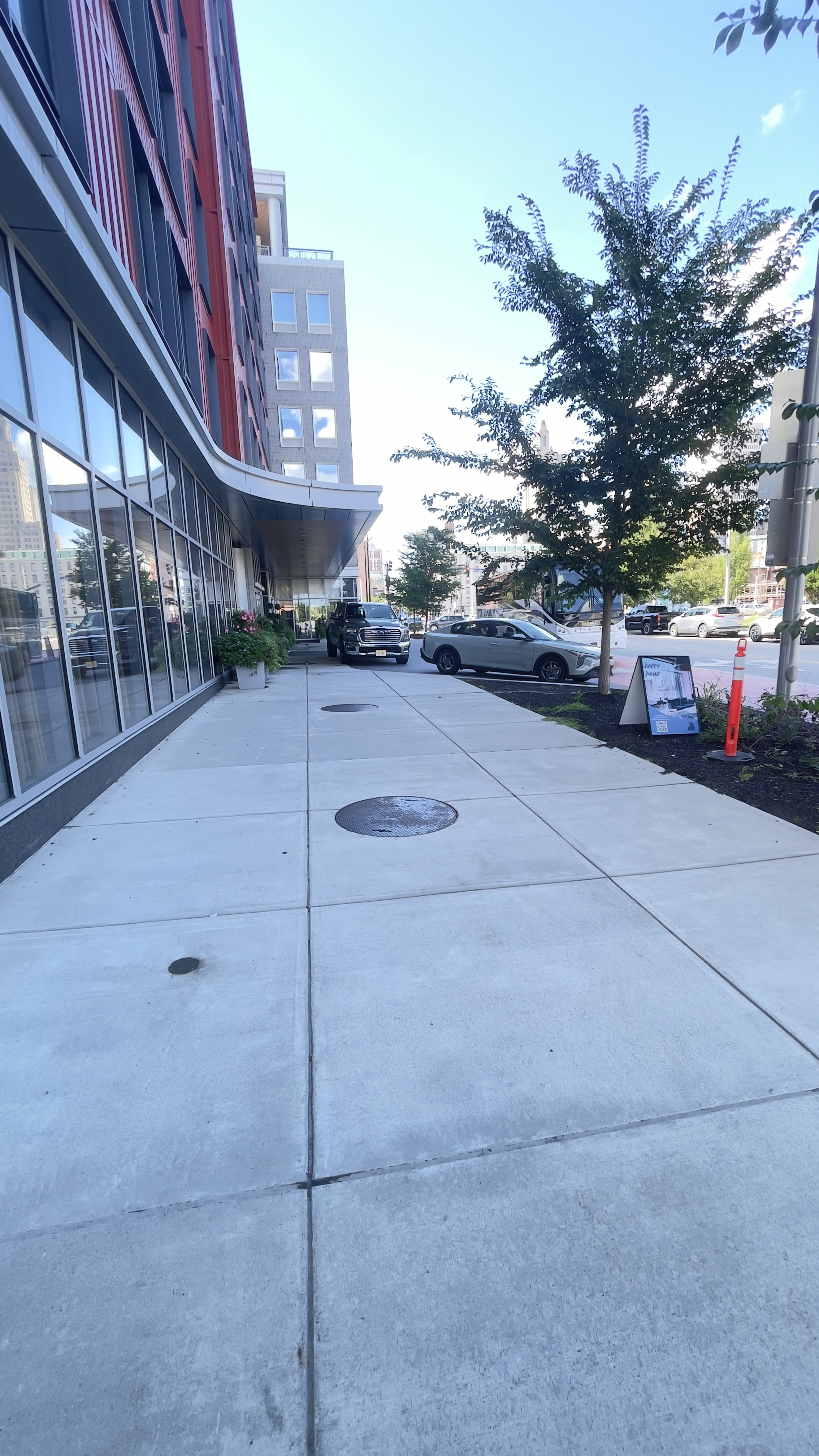
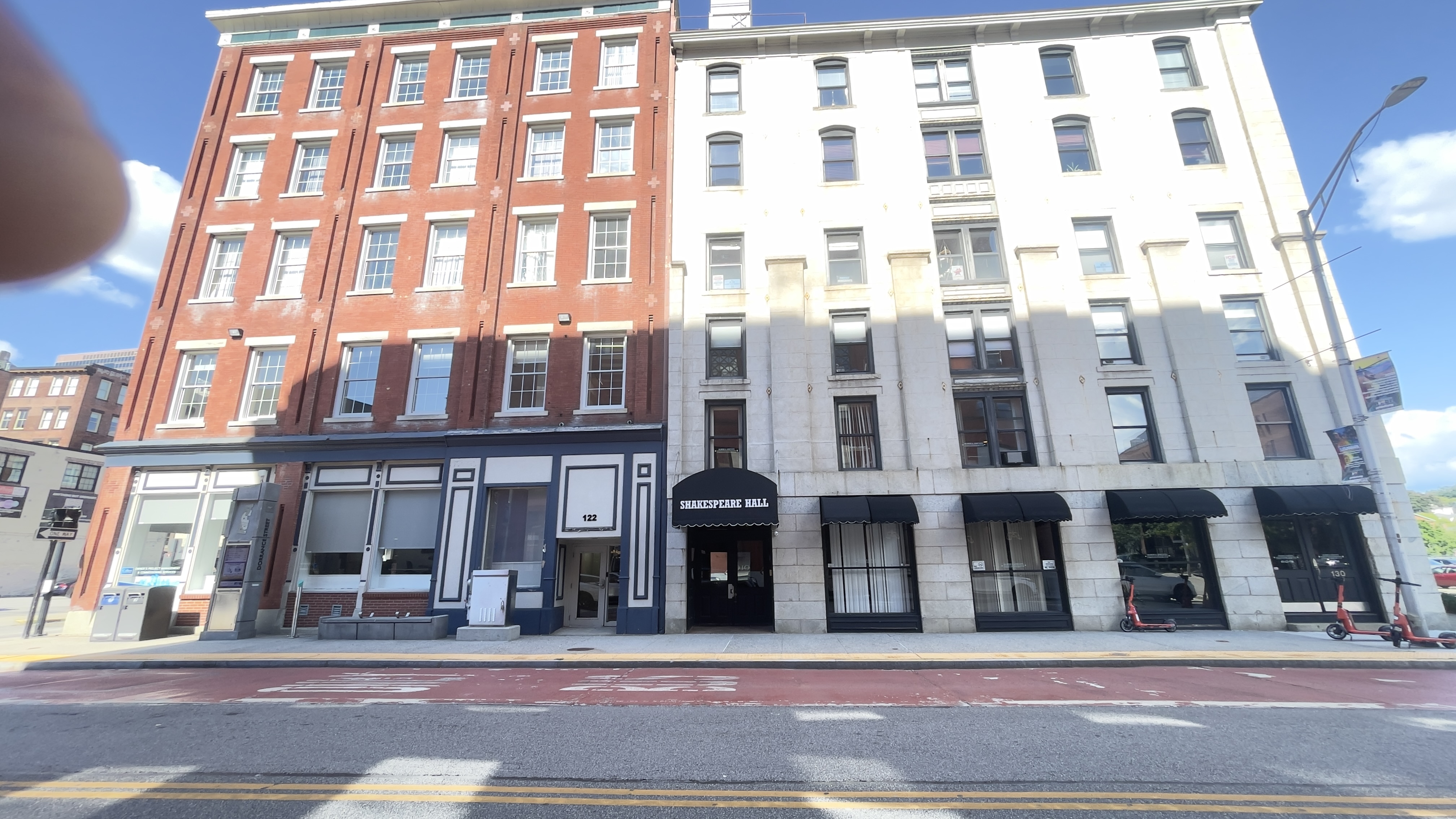
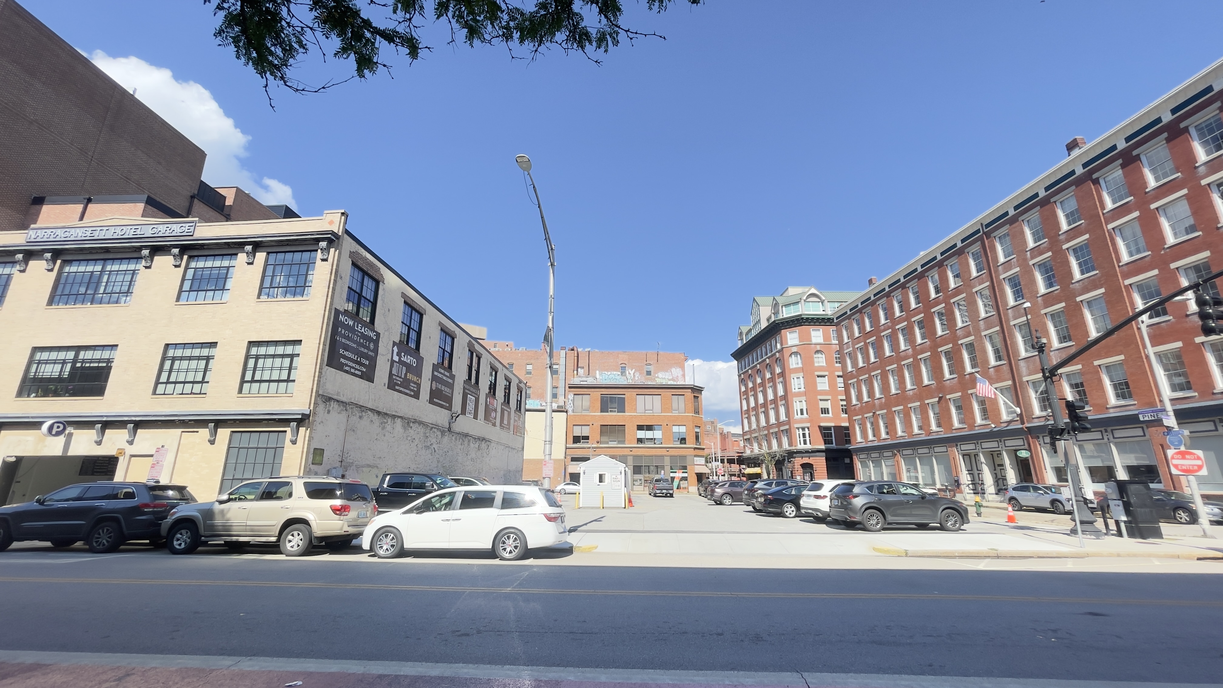
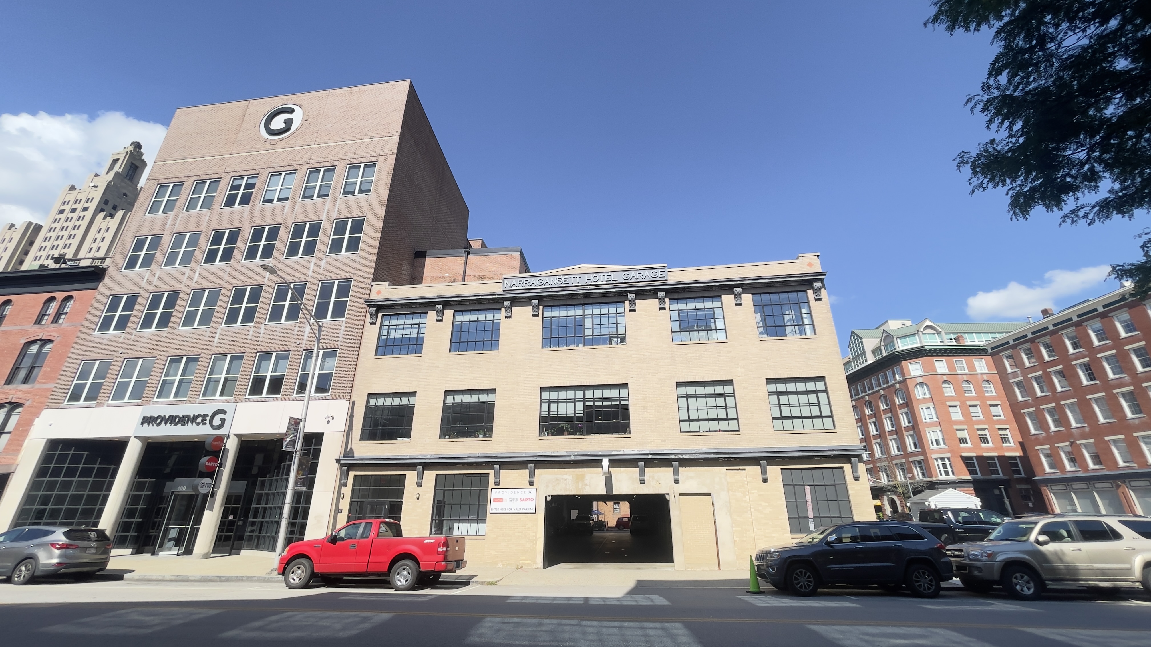
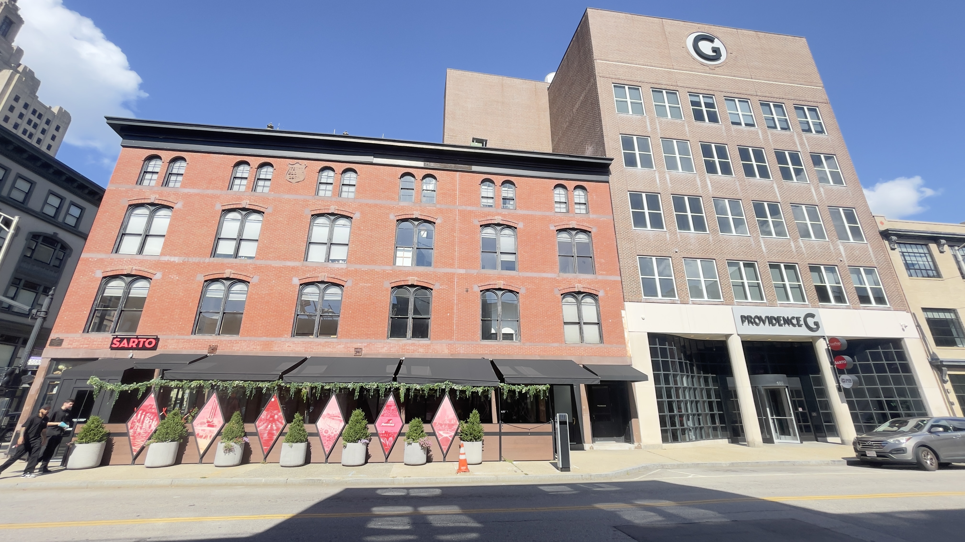
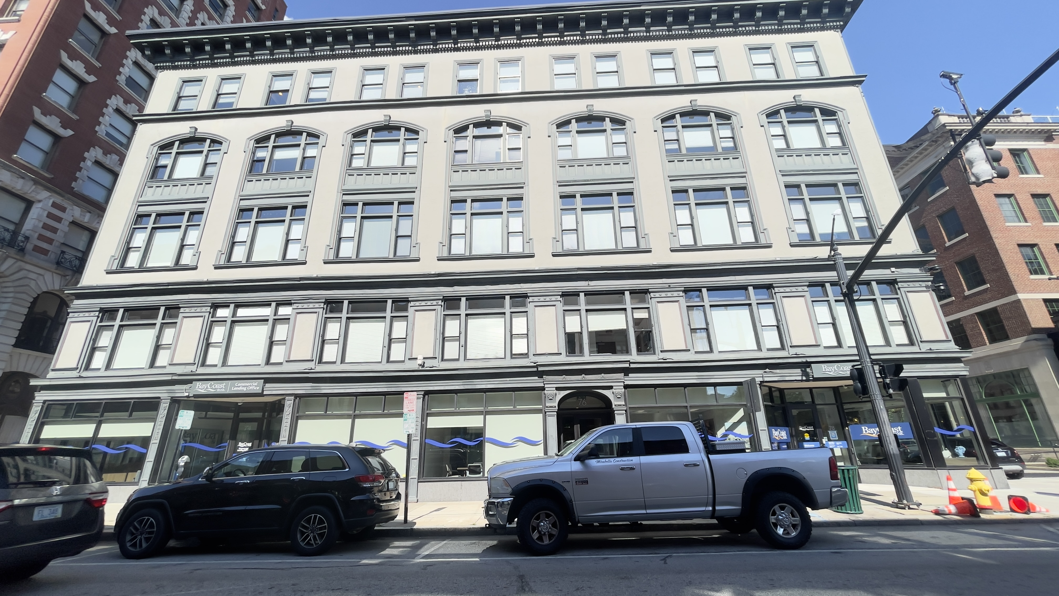
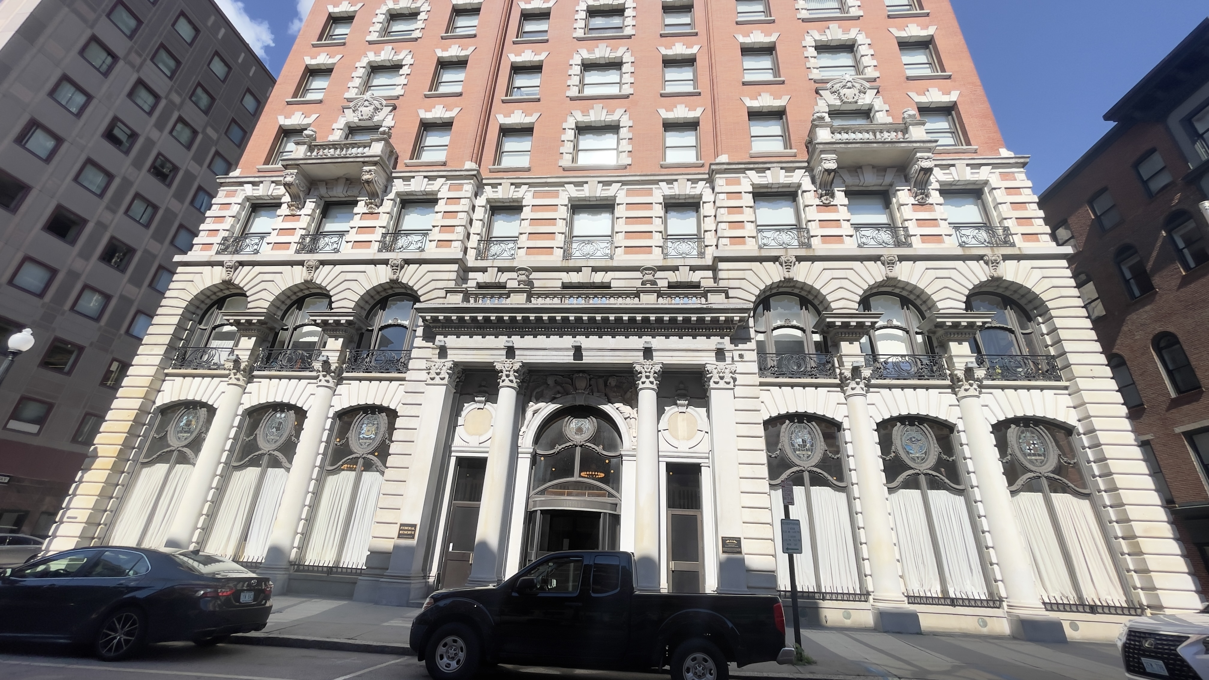
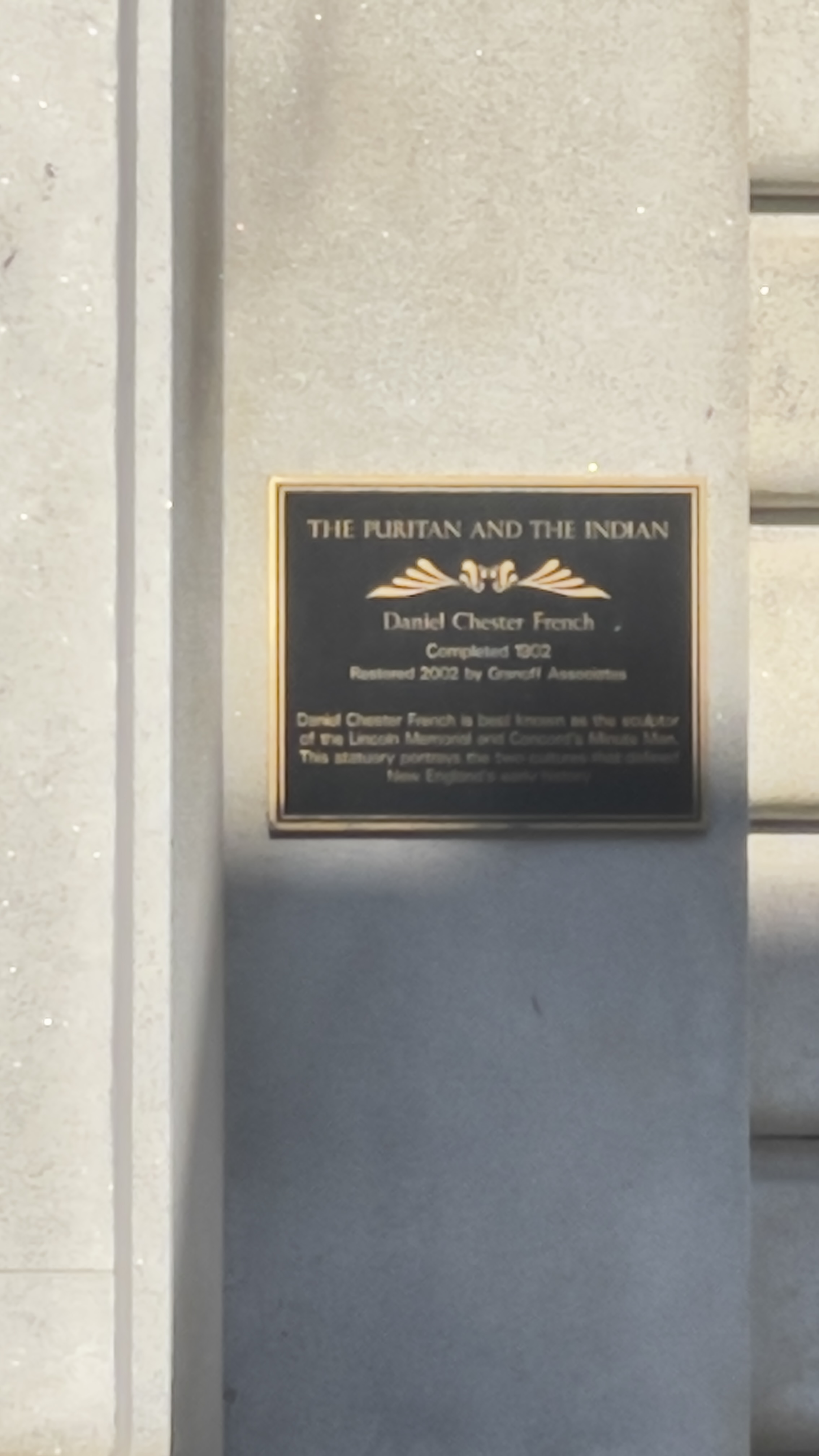
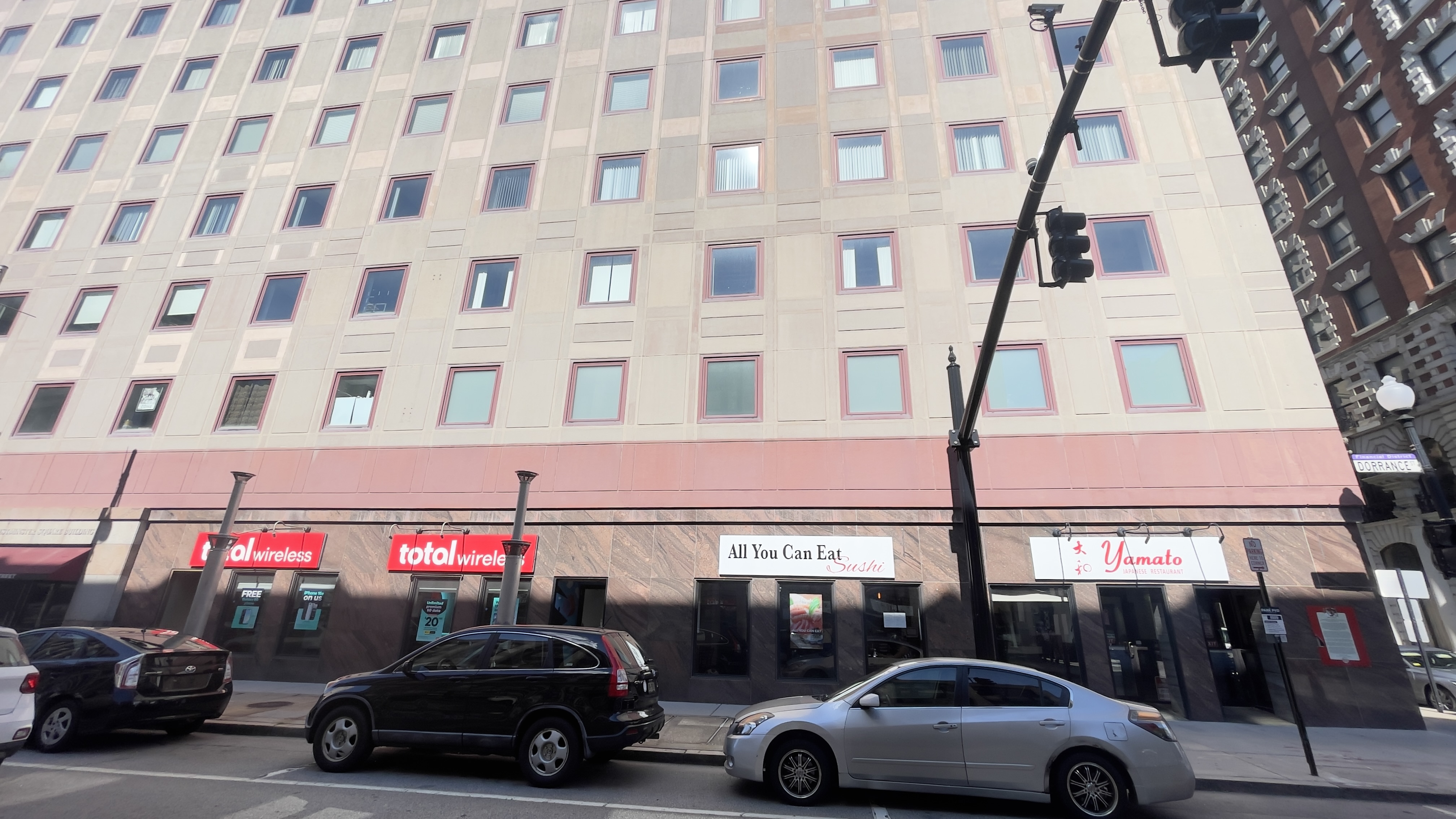
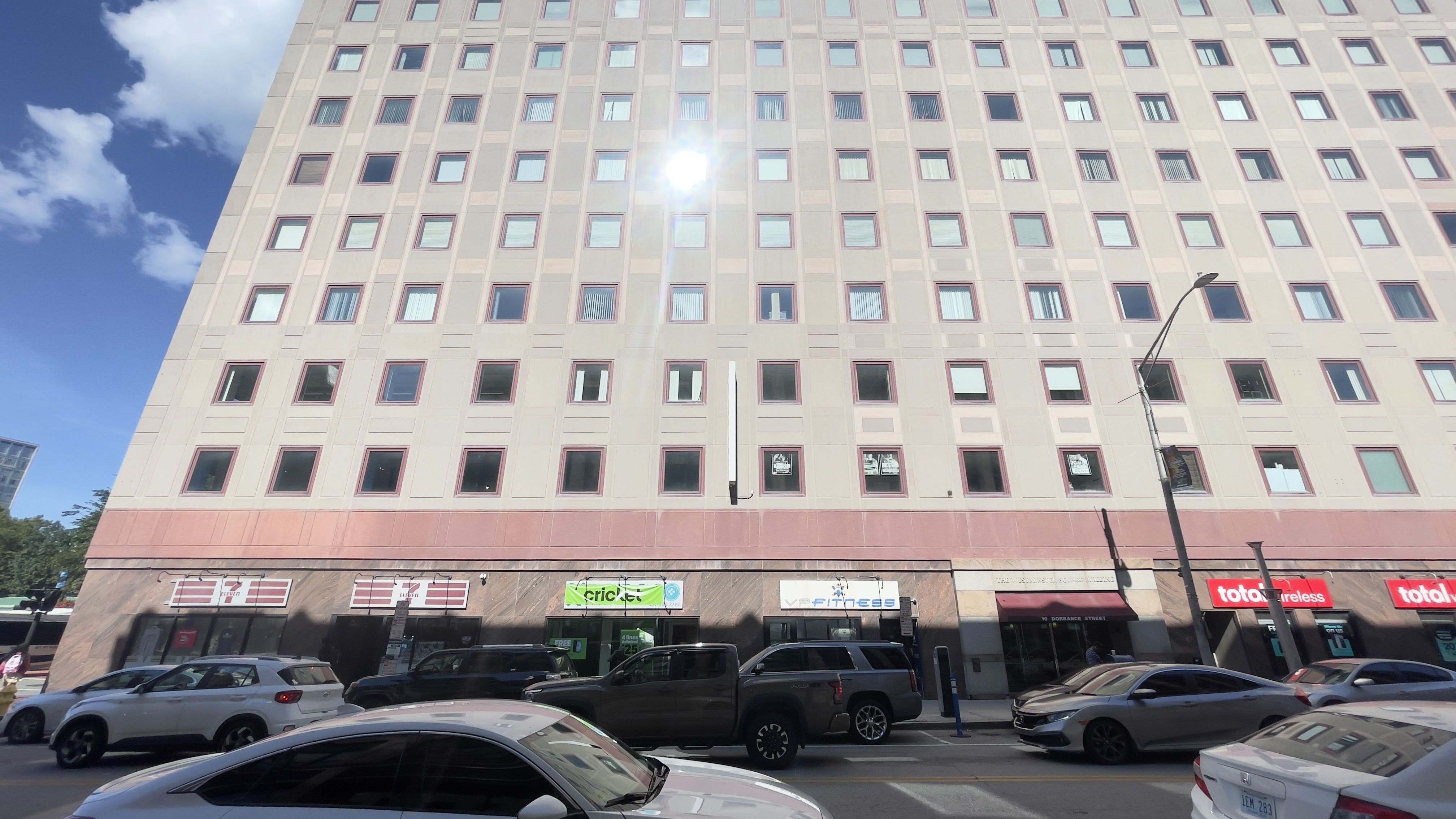
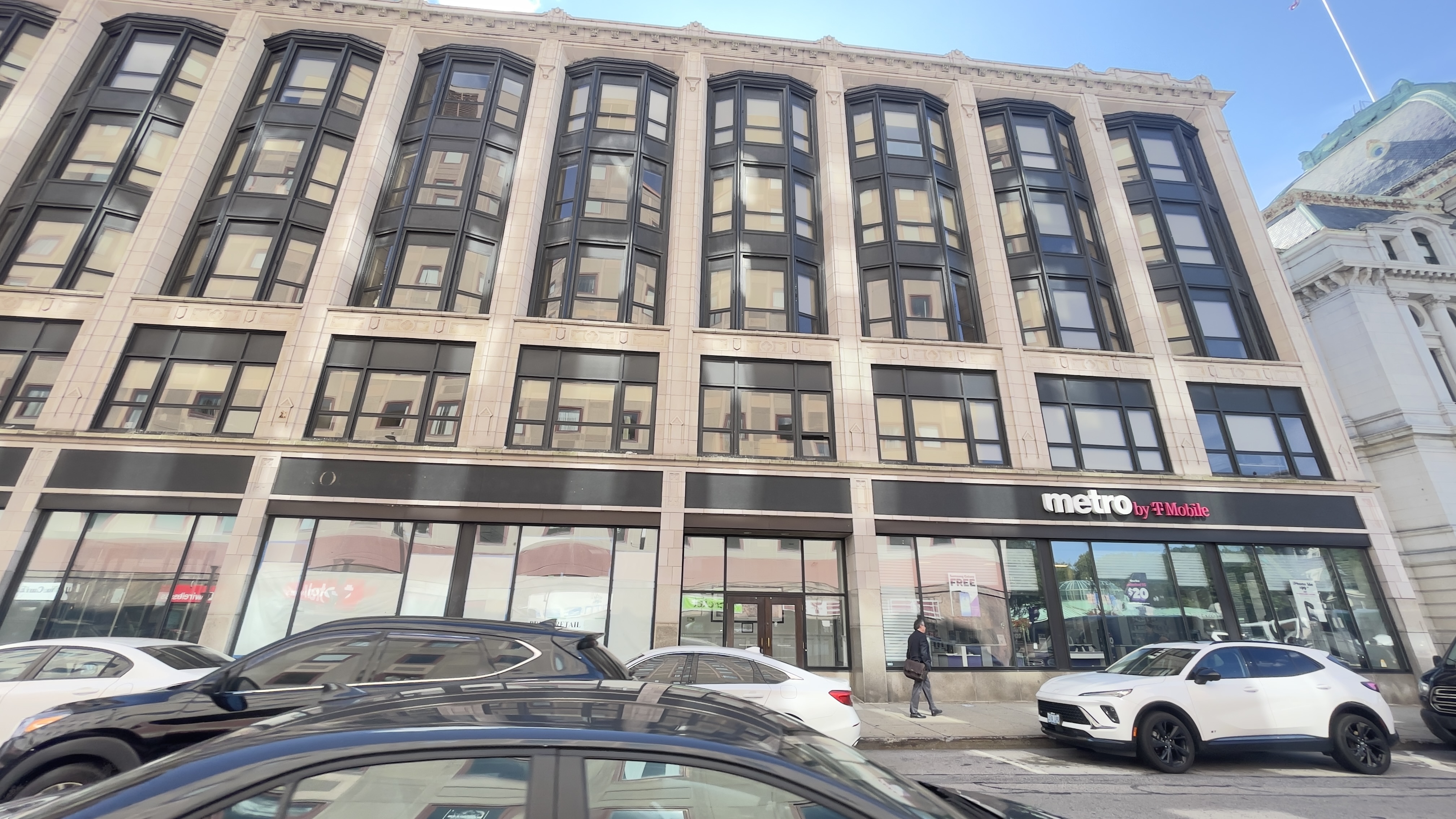
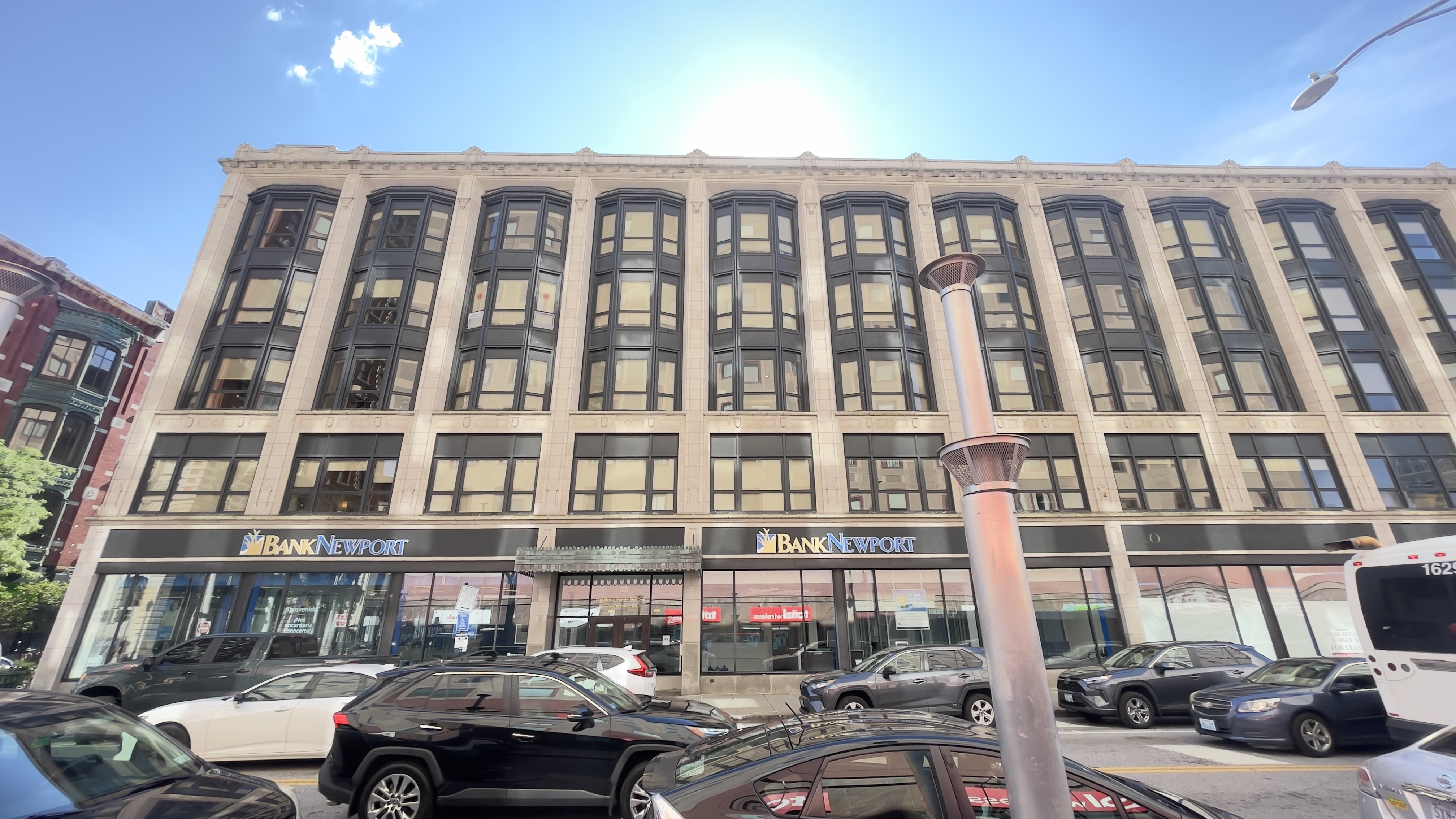
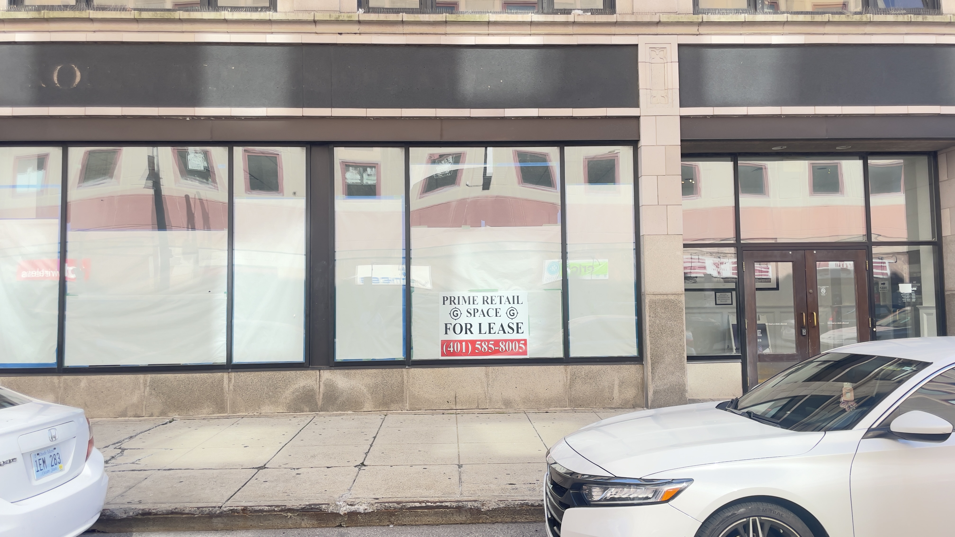
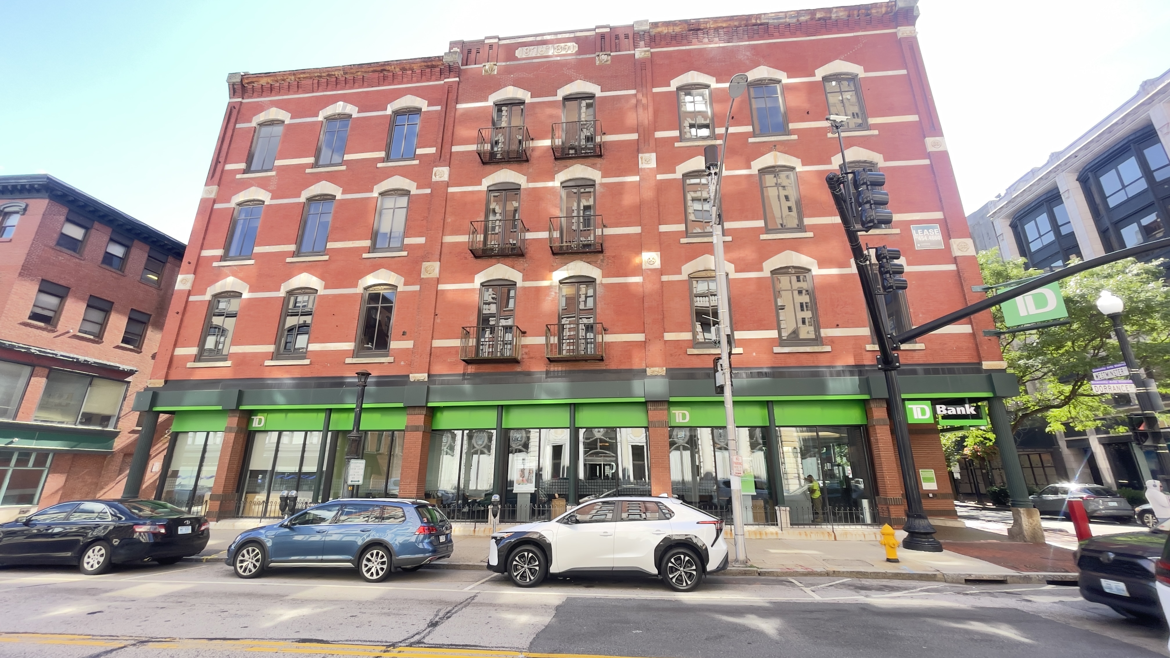
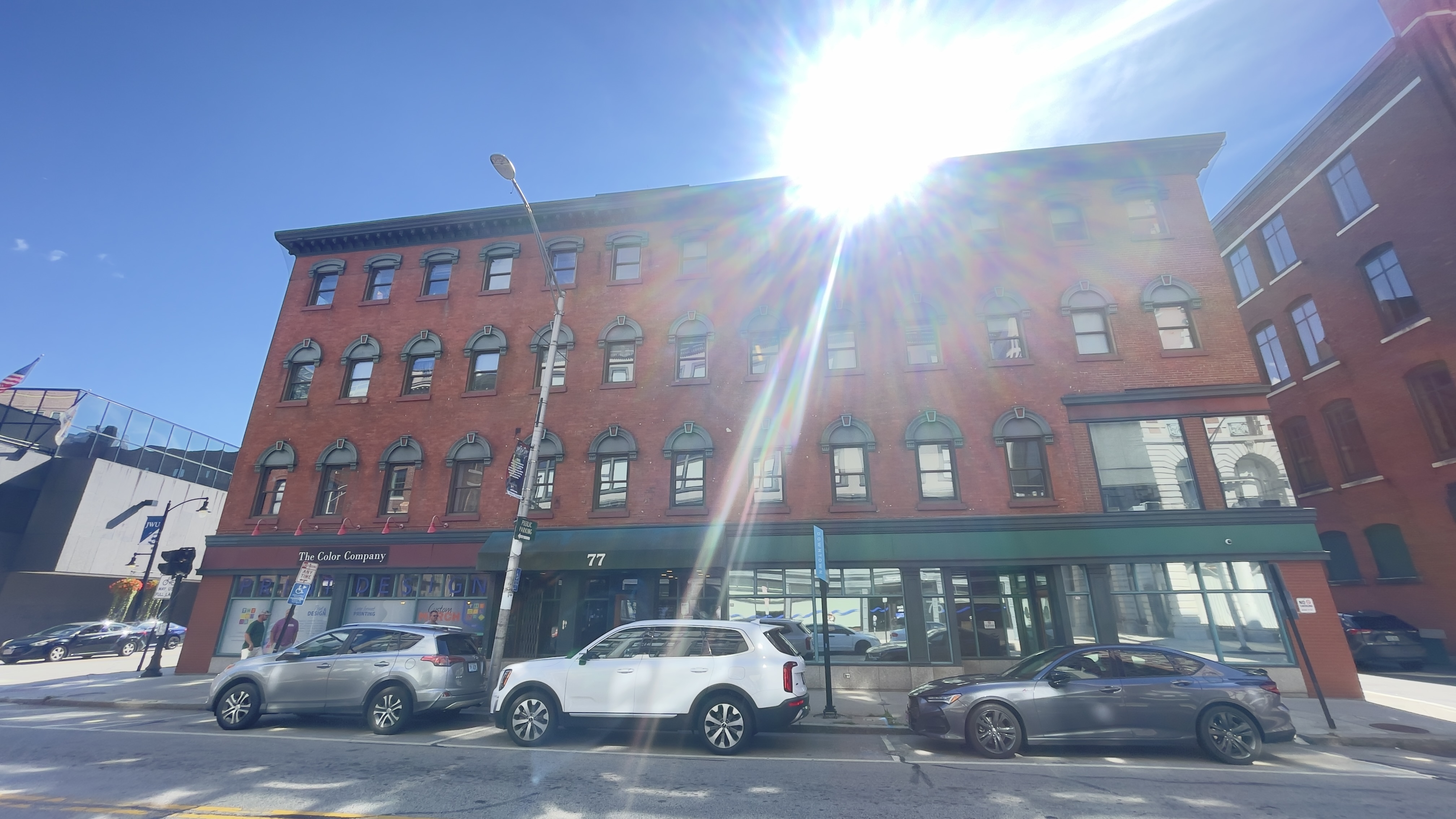
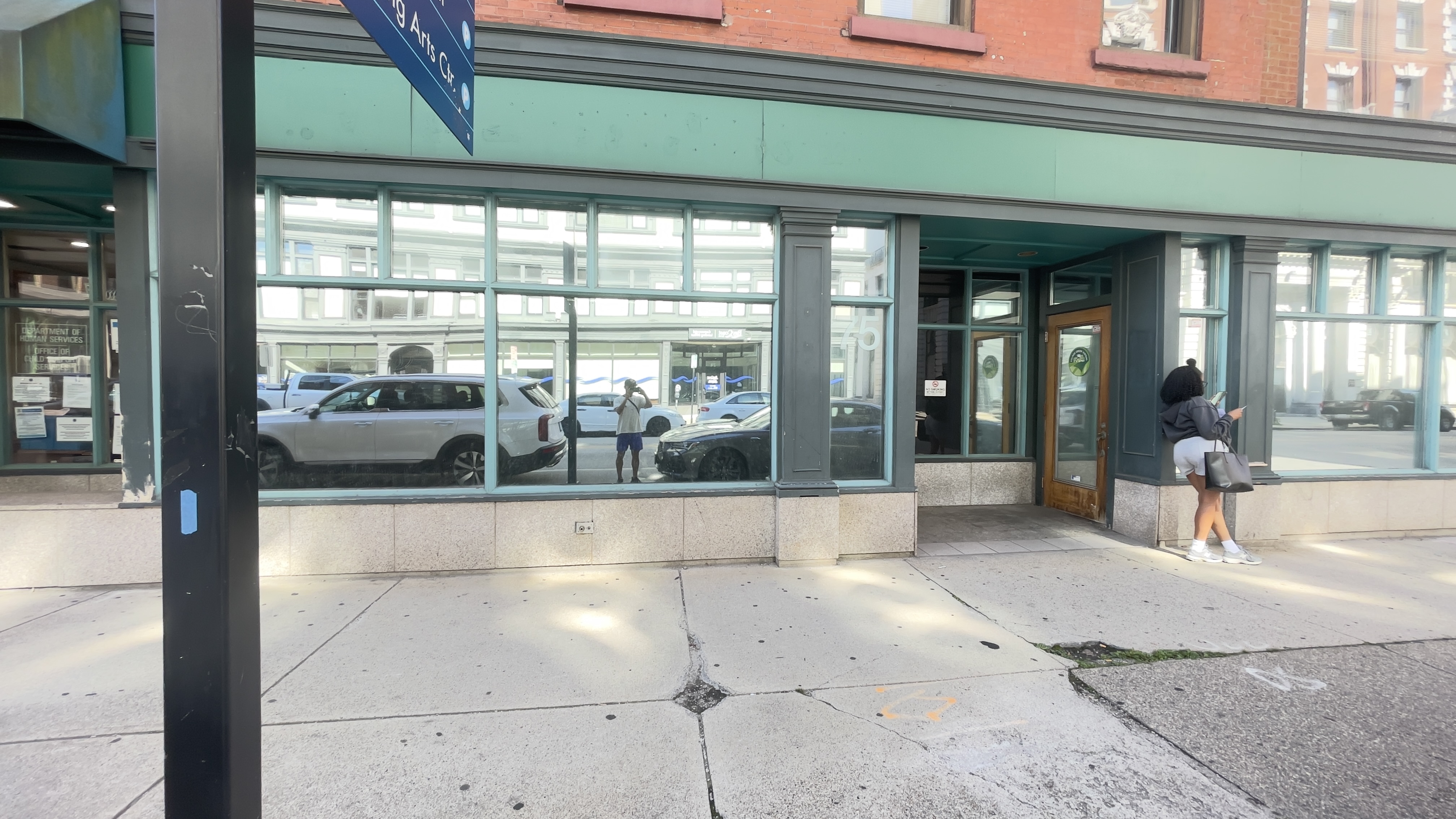
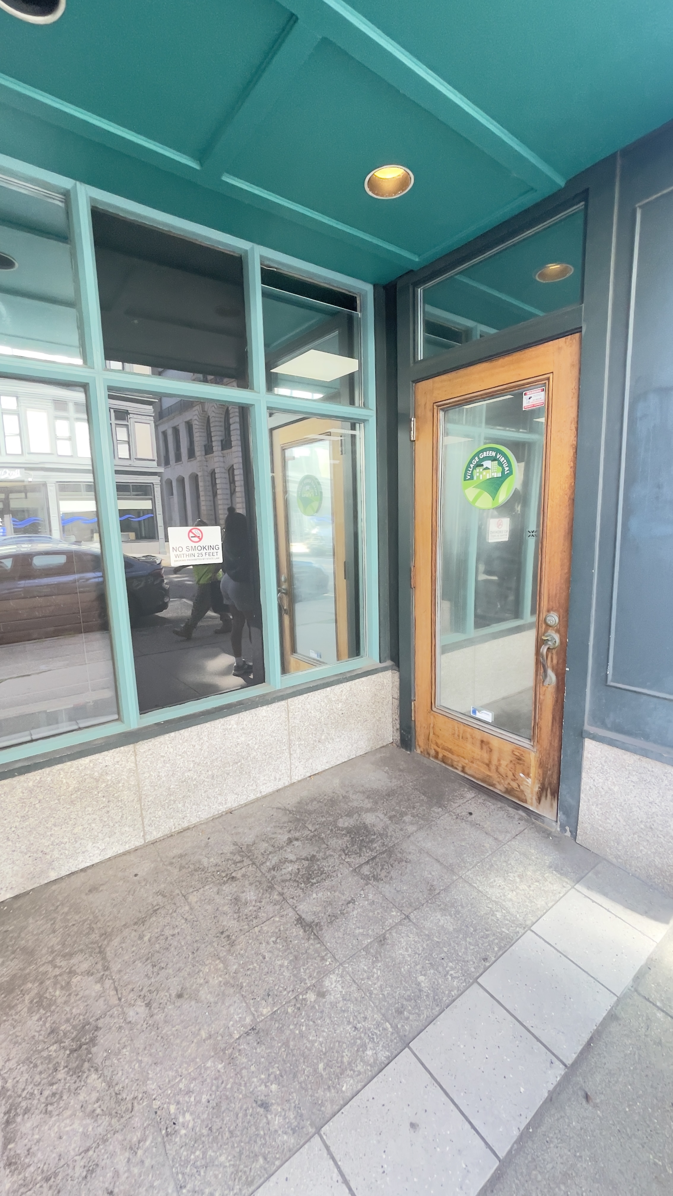
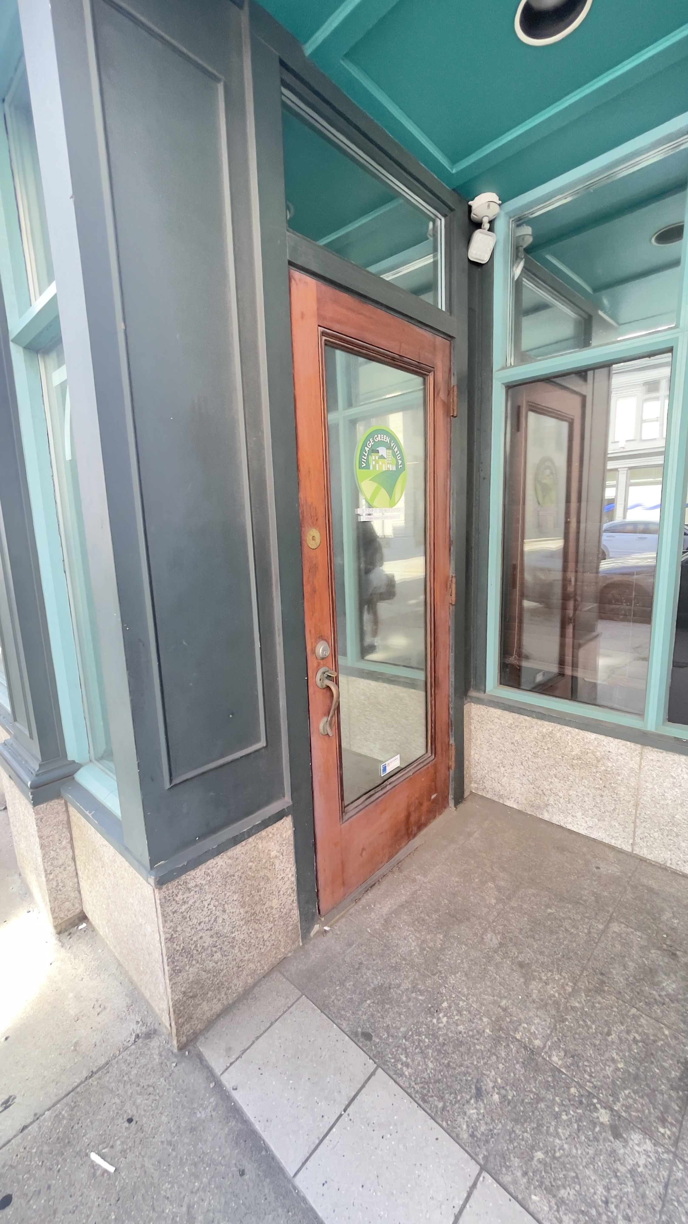
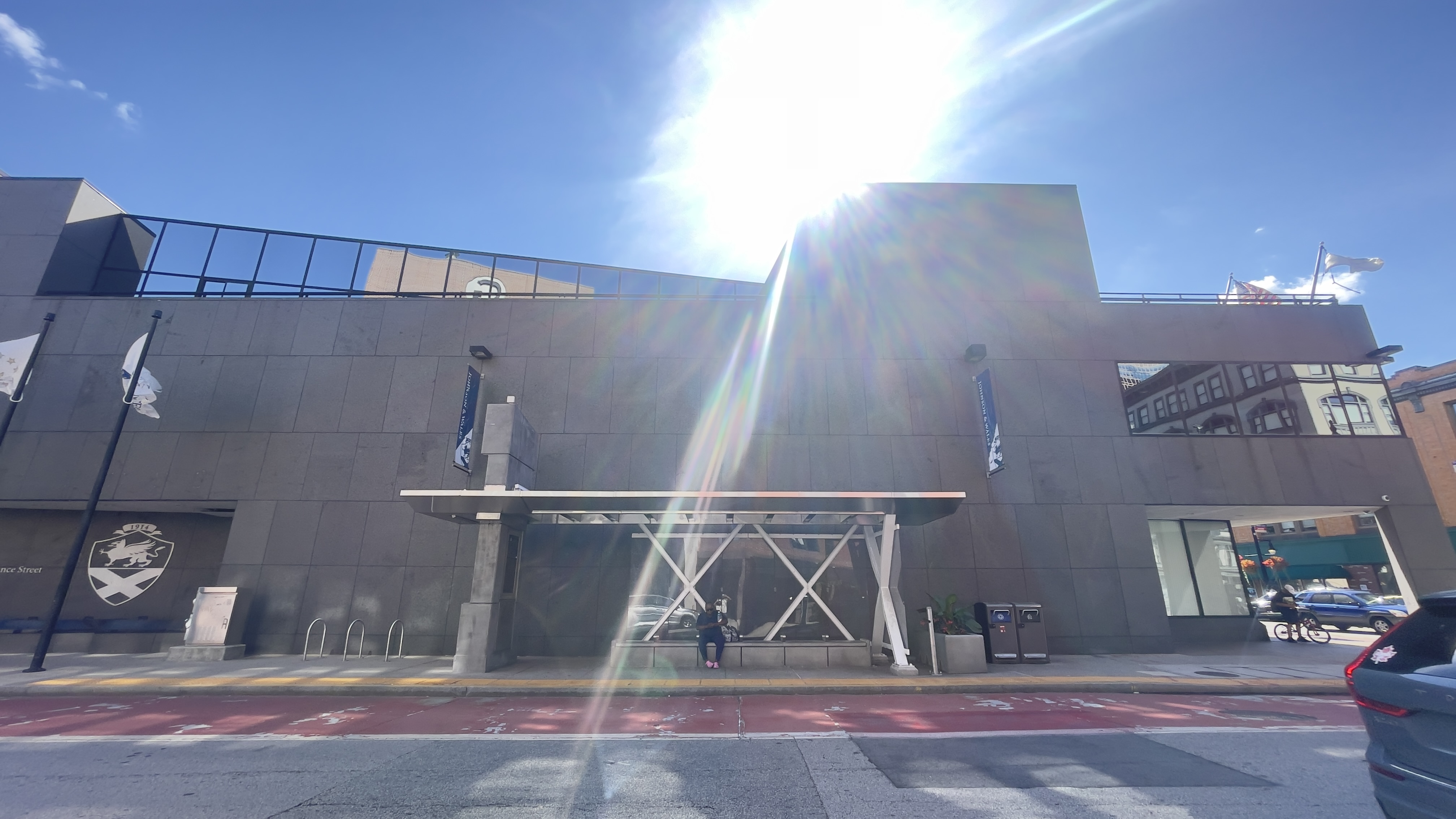
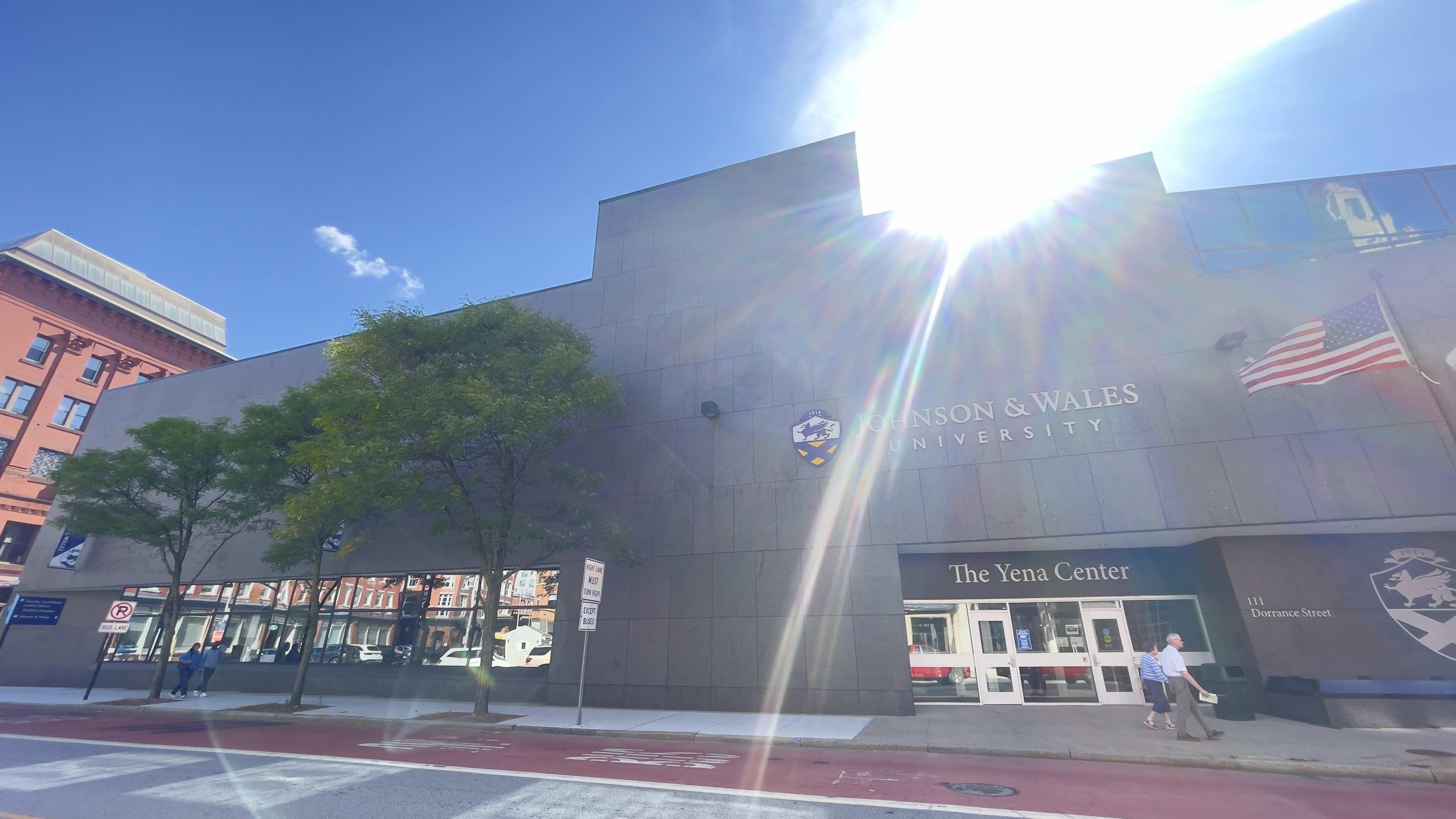
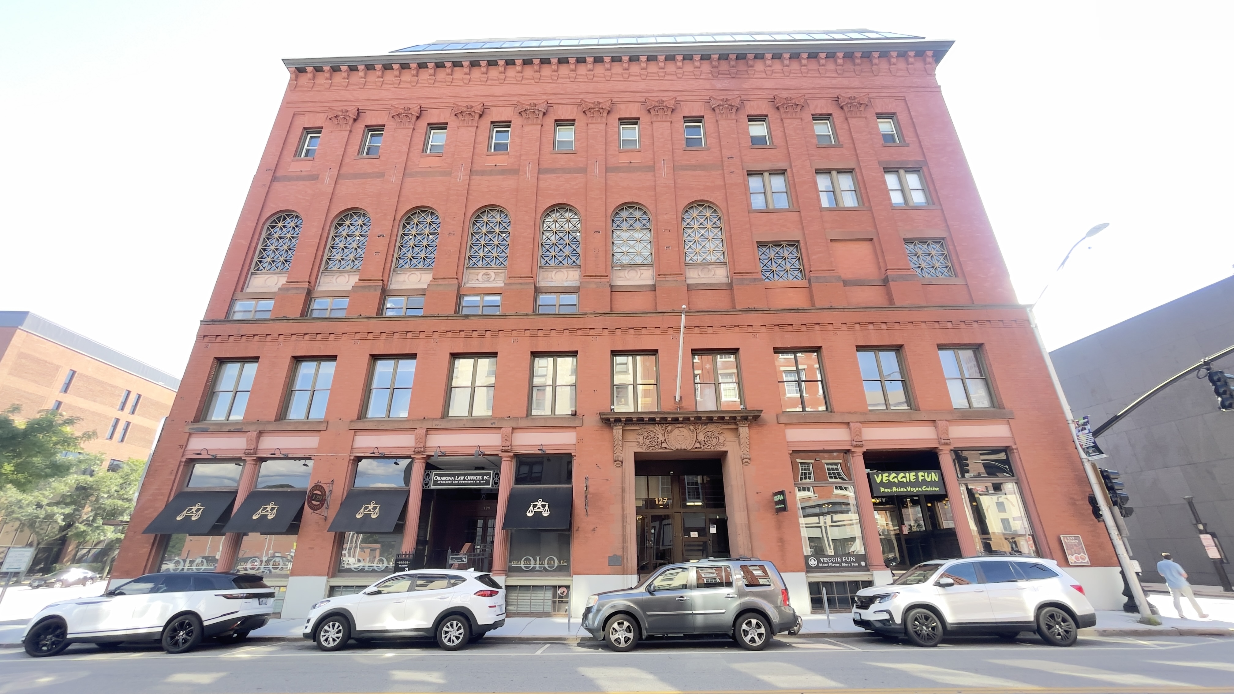
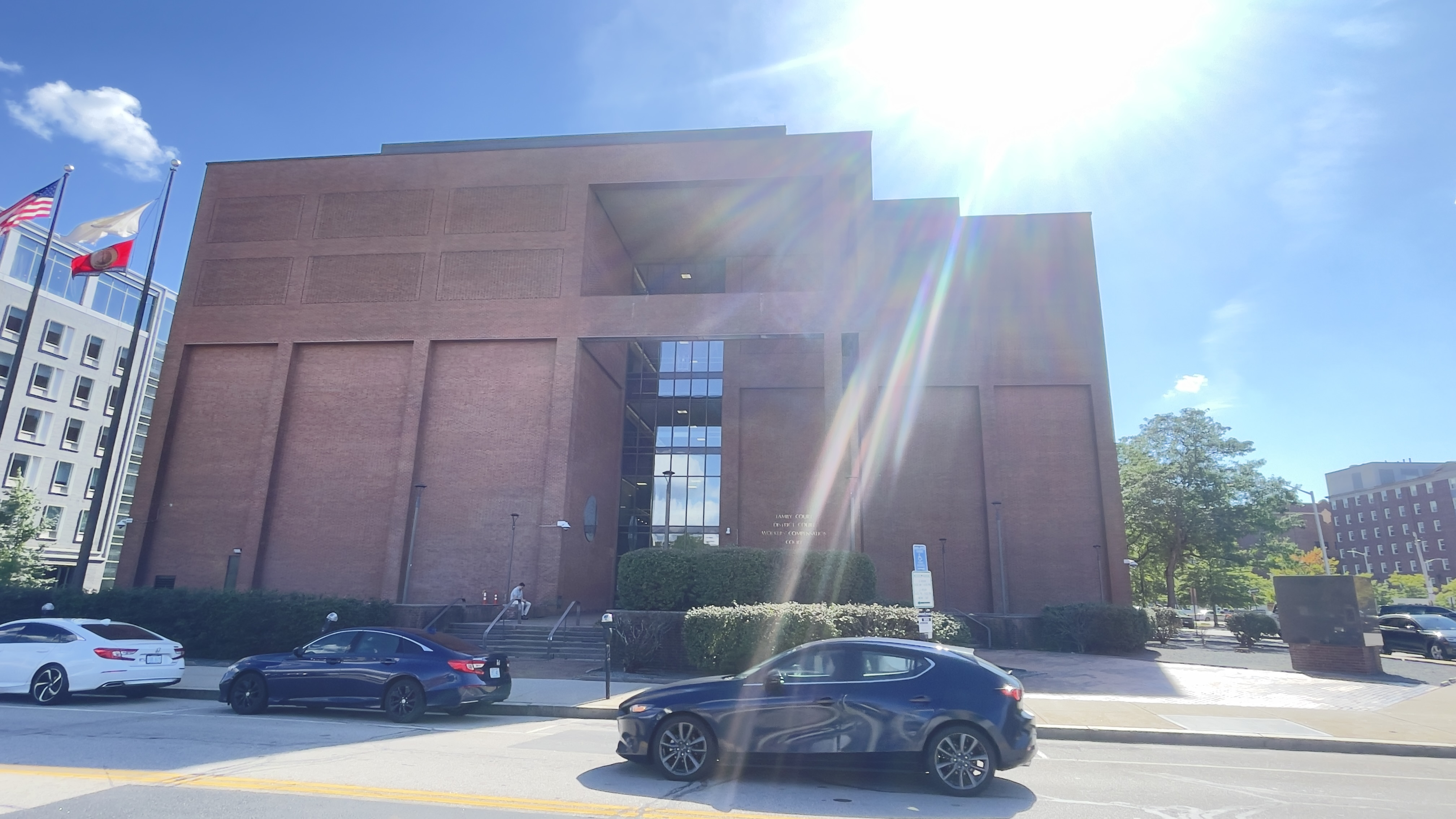
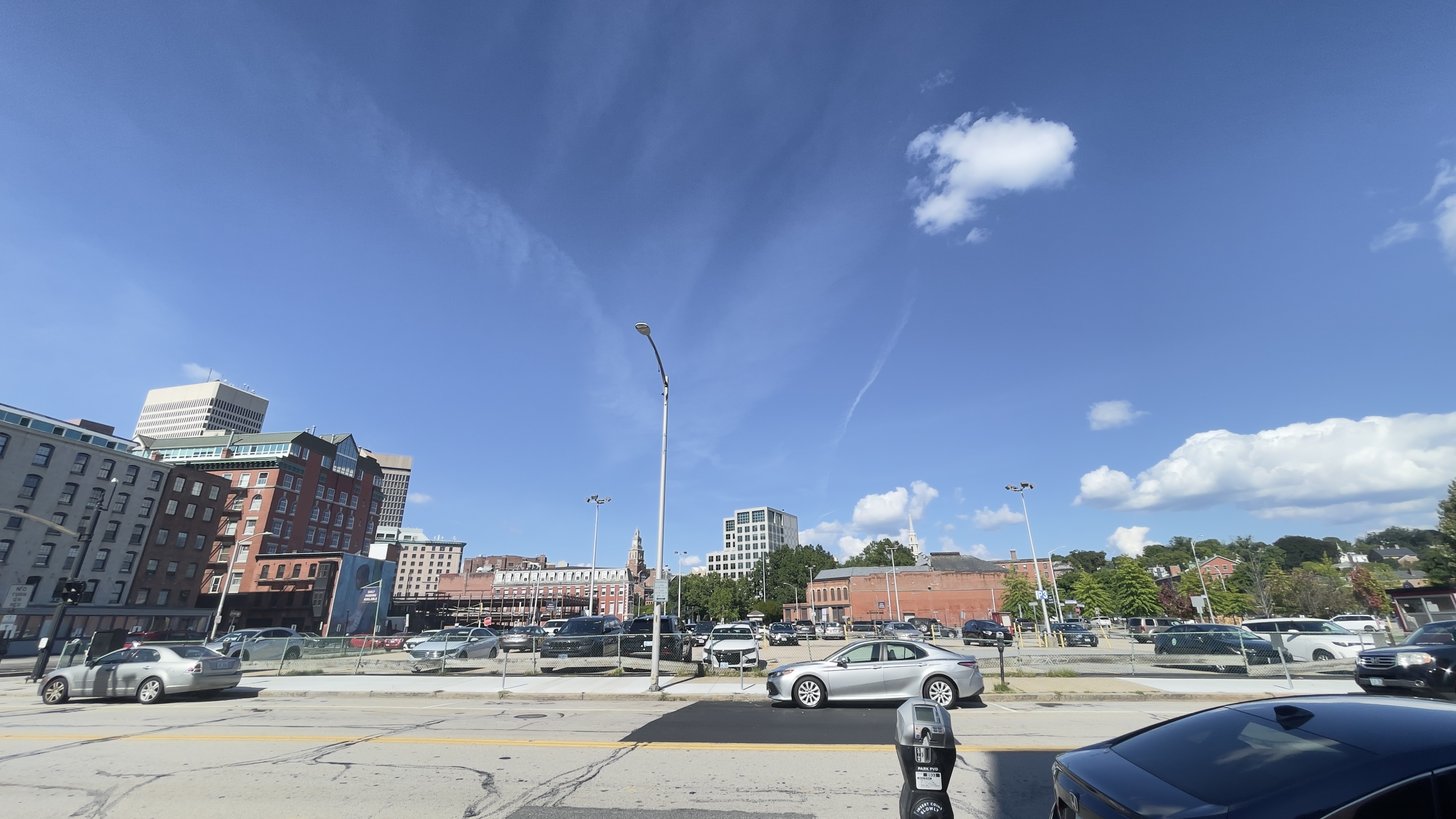
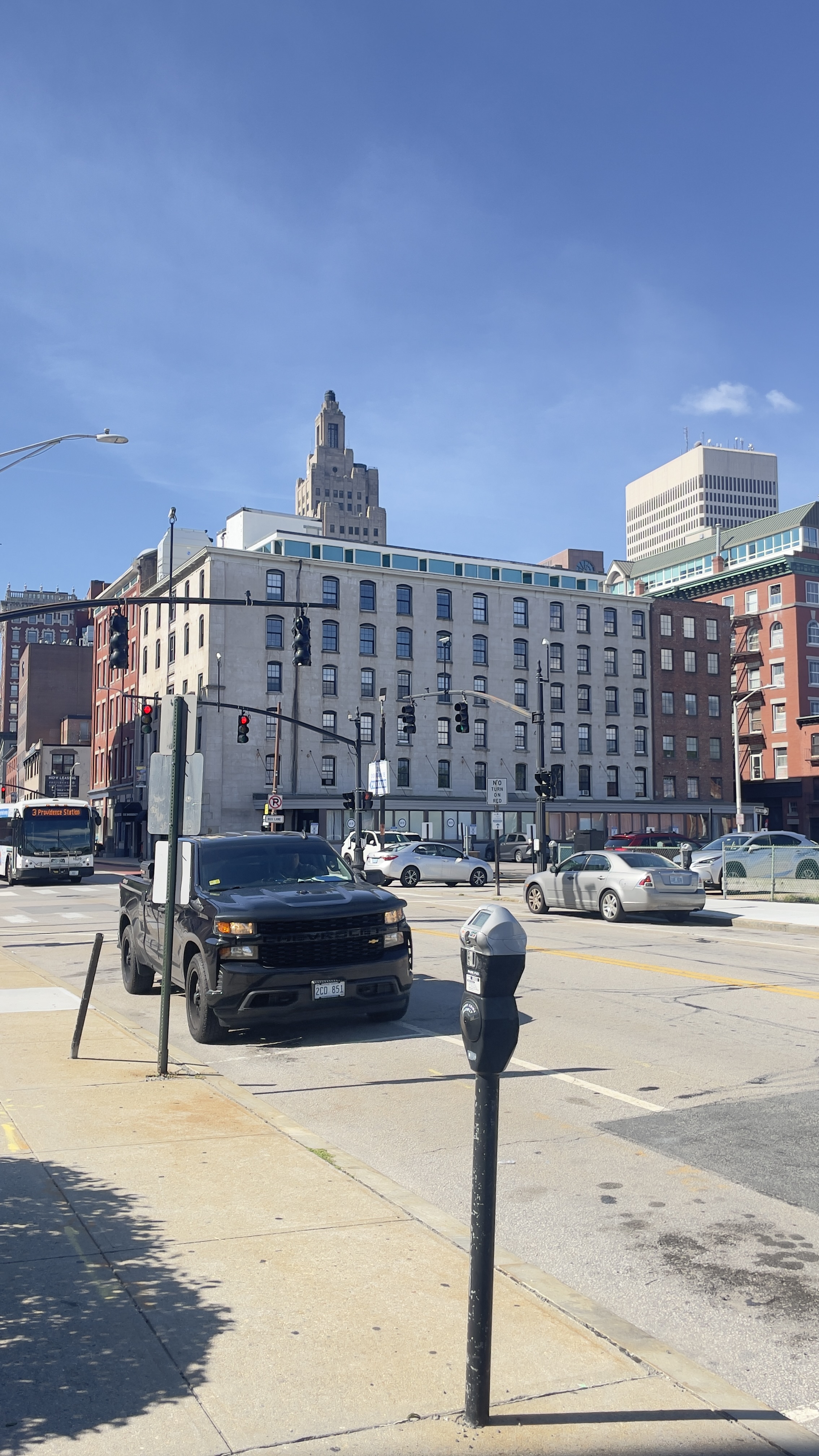
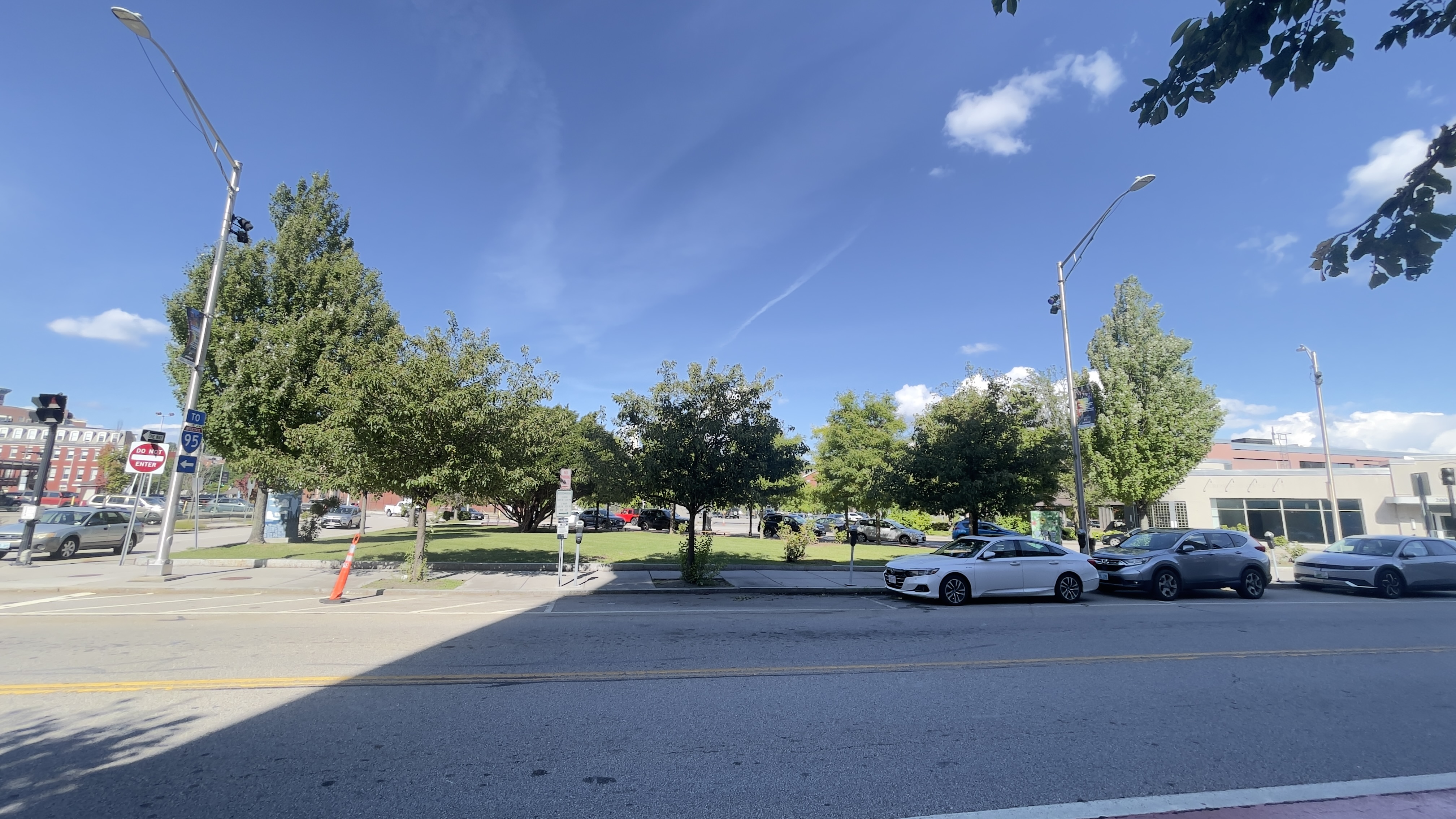
Sept 4 2026 frontage walk, both faces of Dorrance from Aloft (Clifford/Dyer) to City Hall (Washington), plus the return leg and the lots south of Garrahy. Every ground-floor bay photographed in order. Findings: one confirmed storefront vacancy (12 Dorrance block, west side, between Metro by T-Mobile and BankNewport, papered, Prime Retail Space For Lease 401-585-8005, G logotype); a carrier cluster (two Total Wireless, Cricket, Metro by T-Mobile within ~200 ft); three bank halls with full ground floors and no other doors (Union Trust/Federal Reserve plaque, BayCoast at 74-78, TD at Westminster corner); four surface lots plus the Narragansett Hotel Garage valet mouth; Garrahy and JWU Yena Center as blank institutional frontage; Aloft corner with curtained glass and a sidewalk that ends at the porte-cochere; 75 Dorrance occupied by DHS Child Support and Village Green Virtual (active, non-retail, reads vacant from across the street). Aloft front elevation not shot.
Field notes
- Fri Sep 4 2026, 2:48 PM walk 41.82035, -71.40681 Street View here
- Fri Sep 4 2026, 2:54 PM walk 41.82112, -71.40831 Street View here
- Fri Sep 4 2026, 2:58 PM walk 41.82226, -71.40994 Street View here
- Fri Sep 4 2026, 2:59 PM walk 41.82250, -71.41030 Street View here
- Fri Sep 4 2026, 3:00 PM walk 41.82280, -71.41045 Street View here
- Fri Sep 4 2026, 3:00 PM walk 41.82307, -71.41077 Street View here
- Fri Sep 4 2026, 3:02 PM walk 41.82336, -71.41104 Street View here
- Fri Sep 4 2026, 3:03 PM walk 41.82357, -71.41139 Street View here
- Fri Sep 4 2026, 3:04 PM walk 41.82363, -71.41135 Street View here
- Fri Sep 4 2026, 3:05 PM walk 41.82376, -71.41182 Street View here
- Fri Sep 4 2026, 3:06 PM walk 41.82406, -71.41200 Street View here
- Fri Sep 4 2026, 3:08 PM walk 41.82406, -71.41185 Street View here
- Fri Sep 4 2026, 3:09 PM walk 41.82387, -71.41176 Street View here
- Fri Sep 4 2026, 3:10 PM walk 41.82397, -71.41194 Street View here
- Fri Sep 4 2026, 3:12 PM walk 41.82355, -71.41144 Street View here
- Fri Sep 4 2026, 3:12 PM walk 41.82329, -71.41120 Street View here
- Fri Sep 4 2026, 3:13 PM walk 41.82336, -71.41101 Street View here
- Fri Sep 4 2026, 3:14 PM walk 41.82344, -71.41103 Street View here
- Fri Sep 4 2026, 3:14 PM walk 41.82345, -71.41106 Street View here
- Fri Sep 4 2026, 3:15 PM walk 41.82293, -71.41071 Street View here
- Fri Sep 4 2026, 3:15 PM walk 41.82275, -71.41050 Street View here
- Fri Sep 4 2026, 3:16 PM walk 41.82230, -71.40990 Street View here
- Fri Sep 4 2026, 3:17 PM walk 41.82190, -71.40916 Street View here
- Fri Sep 4 2026, 3:18 PM walk 41.82165, -71.40918 Street View here
- Fri Sep 4 2026, 3:19 PM walk 41.82169, -71.40923 Street View here
- Fri Sep 4 2026, 3:20 PM walk 41.82144, -71.40874 Street View here